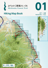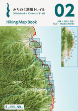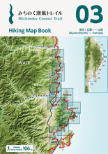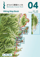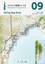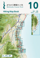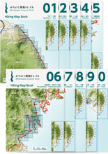
This product can be shipped to addresses outside Japan.
We put a lot of effort into selecting and including the information that hikers need the most in these map books.
The map book for each section has an introduction for that particular area, how to get there, climate information and where to contact for more information. This should help hikers plan what kind of clothes and equipment to bring and how to get to the area.

Each page on the map has the detailed information hikers need: an elevation chart, and numbered landmarks showing relevant landmarks including satellite facilities, places to get water, restrooms, places to buy food, and restaurants/cafes. The distances between the landmarks is also shown. Most of the specific info hikers need to plan are covered within each map book.

The scale is the same as for the older maps, at 1:25,000, so no mental adjustment needed if you’re used those before. Then if you like, you can write information from the older maps or other sources on the new map book to make it your own best resource for a fun hiking trip.
The previous trail maps made by the Ministry of the Environment when each section was completed covered the over 1000 kilometers of trail with 28 separate maps, but since the content for the new map books was selected carefully, they cover the same distance with only 10 books.
In terms of weight, the older trail maps are 40 grams a map, and a full set of 28 maps were about 1.1 kg, but the new hiking map books are 36 grams per map book, and a full set of 10 maps is much lighter at only 355 grams.
The map books aren’t waterproof, but the paper is also stronger than the older maps.
Since the map books are also bound books of A5 size paper (about the dimensions of a smaller paperback book) they are easier to carry and use.
These map books were compiled and made with care by hikers who have actually hiked the Michinoku Coastal Trail, who researched the details they would have liked to know on their hikes and distilled them into these ten map books.
Definitely give the new hiking map books a try and see just how useful they are for your hike.

Price
Per map ¥1,650
Full set of 10 maps ¥14,850
| Number | Sections |
| Book 01 | Hachinohe to Kuji (Kabushima to Kuji Station), 93 km |
| Book 02 | Kuji to Miyako (Kuji Station to Settai Station), 99 km |
| Book 03 | Miyako to Yamada (Settai Station to Rikuchu-Yamada Station), 106 km |
| Book 04 | Yamada to Kamaishi (Rikuchu-Yamada Station to Kamaishi Station), 121 km |
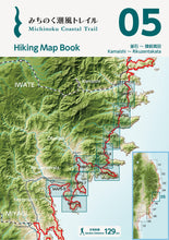
| Book 05 | Kamaishi to Rikuzentakata (Kamaishi Station to Rikuzentakata Station), 129 km |
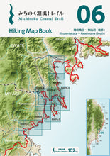
| Book 06 | Rikuzentakata to Kesennuma (Rikuzentakata Station to Motoyoshi Station), 102 km |
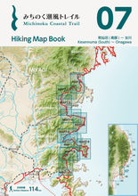
| Book 07 | Kesennuma to Onagawa (Motoyoshi Station to Onagawa Station), 114 km |
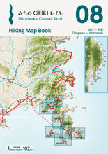
| Book 08 | Onagawa to Ishinomaki (Onagawa Station to Ishinomaki Station), 102 km |
| Book 09 | Ishinomaki to Natori (Ishinomaki Station to Natori Trail Center), 82 km |
| Book 10 | Natori to Soma (Natori Trail Center to Matsukawaura), 97 km |
※ 5% of the purchase price is a donation for the trail to help support trail maintenance, updating the maps, and more.


